2026 North Atlantic hurricane season
Tropical Storm Dolly 2026
Recorded track and intensity from Aug 24, 2026 to Aug 31, 2026
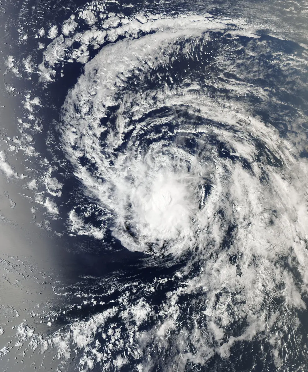

This storm's record is provisional and may be revised as the archive is updated.
Drag to pan. Pinch or Ctrl/⌘ + scroll to zoom. Keyboard: plus or minus to zoom, arrow keys to pan, and 0 to show the full track.
40 mph
Aug 27, 2026 during the tropical stage
Full archive record, including non-tropical stages if present
Along the recorded center positions
STORM HISTORY
Track and intensity summary
Dolly is listed in the North Atlantic basin for the 2026 season. Its archived track begins on Aug 24, 2026, 12:00 AM UTC at 11°N, 16.4°W. The first observation lists sustained winds of 17 mph. These dates describe the available observations, which may include stages before and after the tropical cyclone phase.
The highest recorded tropical-stage one-minute sustained wind is 40 mph, first recorded on Aug 27, 2026, 12:00 PM UTC at 13.5°N, 37.5°W. The minimum recorded tropical-stage central pressure is 1007 hPa on Aug 27, 2026, 12:00 PM UTC.
The full record spans 180 hours and approximately 3,710 mi along the recorded center positions. The last recorded position is 20°N, 70.6°W on Aug 31, 2026, 12:00 PM UTC. The final tropical-stage observation is earlier, on Aug 28, 2026, 09:00 AM UTC.
QUICK ANSWERS
Dolly in brief
What was Tropical Storm Dolly's highest wind speed?
40 mph, the highest one-minute sustained wind in its tropical stage, recorded on Aug 27, 2026, 12:00 PM UTC.
What category was Tropical Storm Dolly?
Tropical Storm Dolly is not recorded at hurricane strength on the Saffir–Simpson scale in this archive.
What was Tropical Storm Dolly's lowest pressure?
1007 mb, the minimum central pressure recorded during its tropical stage, on Aug 27, 2026, 12:00 PM UTC.
When did Tropical Storm Dolly occur?
The archived track runs from Aug 24, 2026, 12:00 AM UTC to Aug 31, 2026, 12:00 PM UTC, with the tropical stage from Aug 27, 2026, 06:00 AM UTC to Aug 28, 2026, 09:00 AM UTC.
Where did Tropical Storm Dolly form?
In the North Atlantic basin, in the 2026 season. Its first recorded position is 11°N, 16.4°W on Aug 24, 2026, 12:00 AM UTC.
Did Tropical Storm Dolly make landfall?
No archived position places Tropical Storm Dolly's center over land, but positions are six-hourly and a brief landfall can fall between them.
METHODOLOGY
Data sources and limitations
The map and summary are generated from NOAA's IBTrACS v04r01 archive, with provisional positions from the NHC operational best track; post-season analysis revises them. Wind and category use US-agency records; minimum pressure is calculated during the tropical stage, with the archive's pressure source retained. Categories refer to the Saffir–Simpson one-minute wind scale; local agencies may use different classifications. Coastlines use Natural Earth's 1:10m land data.
Track distance adds great-circle distances between consecutive observations, excluding gaps over 12 hours. This track has no gaps over 12 hours. The line shows the storm's center, not its size, rainfall or flood extent. Converted wind speeds are rounded to the nearest whole unit.
Archive retrieved ; live tracks fetched
NOAA IBTrACS archive and Field documentation
Sources & methodology