2018 Western Pacific typhoon season
Typhoon Yutu 2018
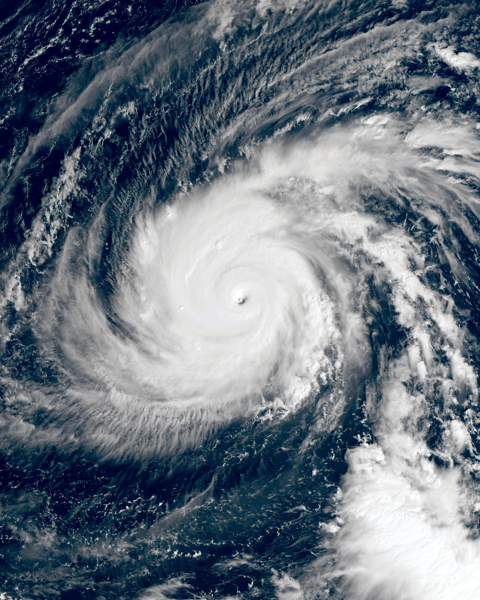
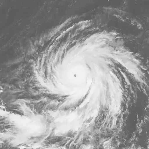
Yutu devastated Tinian and Saipan near its greatest strength, then continued west toward the Philippines. Its second major island crossing brought flooding and deadly landslides to Luzon.

Drag to pan. Pinch or Ctrl/⌘ + scroll to zoom. Keyboard: plus or minus to zoom, arrow keys to pan, and 0 to show the full track.
173 mph
Oct 24, 2018 during the tropical stage
Full archive record, including non-tropical stages if present
Along the recorded center positions
STORM HISTORY
Destruction in the Northern Mariana Islands
Yutu developed near the Marshall Islands in late October and intensified rapidly while moving west-northwest. Archived sustained winds reached 150 knots on October 24. The powerful core crossed Tinian on October 25 local time and brought catastrophic conditions to neighboring Saipan.
Thousands of homes were destroyed, hundreds of power poles fell and electricity supplies were disrupted for months. Health centers and airports suffered severe damage. Losses in the Northern Mariana Islands exceeded US$800 million, and two women died on Saipan.
A later crossing of Luzon
After an eyewall replacement cycle and renewed strengthening, Yutu weakened before reaching Dinapigue in Isabela late on October 29 UTC. Known locally as Rosita, it struck while the Philippines was still recovering from Mangkhut. Flooding and landslides caused further destruction, including a deadly slide in Natonin.
Yutu entered the South China Sea and turned northward while weakening. The remaining circulation dissipated by November 3.
Further reading
QUICK ANSWERS
Yutu in brief
What was Typhoon Yutu's highest wind speed?
173 mph, the highest one-minute sustained wind in its tropical stage, recorded on Oct 24, 2018, 12:00 PM UTC.
What category was Typhoon Yutu?
Category 5 at its peak on the Saffir–Simpson one-minute wind scale, first reaching Category 5 on Oct 24, 2018, 03:00 AM UTC. Other agencies classify storms differently.
What was Typhoon Yutu's lowest pressure?
904 mb, the minimum central pressure recorded during its tropical stage, on Oct 24, 2018, 06:00 PM UTC.
When did Typhoon Yutu occur?
The archived track runs from Oct 20, 2018, 06:00 PM UTC to Nov 3, 2018, 06:00 AM UTC, with the tropical stage from Oct 21, 2018, 12:00 PM UTC to Nov 2, 2018, 09:00 AM UTC.
Where did Typhoon Yutu form?
In the Western Pacific basin, in the 2018 season. Its first archived position is 8.3°N, 160.8°E on Oct 20, 2018, 06:00 PM UTC.
Did Typhoon Yutu make landfall?
The archive places its center over land at 1 recorded position; the strongest is 113 mph on Oct 29, 2018, 09:00 PM UTC. Positions are six-hourly, so this is not a landfall chronology.
METHODOLOGY
Data sources and limitations
The map and summary are generated from NOAA's IBTrACS v04r01 archive. Wind and category use US-agency records; minimum pressure is calculated during the tropical stage, with the archive's pressure source retained. Category 5 refers to the Saffir–Simpson one-minute wind scale; local agencies may use different classifications. Coastlines use Natural Earth's 1:10m land data.
Track distance adds great-circle distances between consecutive observations, excluding gaps over 12 hours. This track has no gaps over 12 hours. The line shows the storm's center, not its size, rainfall or flood extent. Converted wind speeds are rounded to the nearest whole unit.
Archive retrieved
NOAA IBTrACS archive and Field documentation
Sources & methodology